この商品を友人に教える:
Delorme Atlas & Gazetteer Rand McNally
 クリスマスプレゼントは1月31日まで返品可能です



Delorme Atlas & Gazetteer
Rand McNally
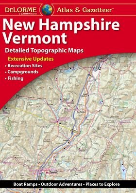
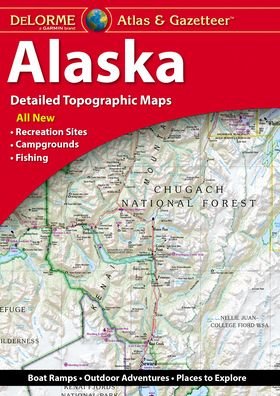
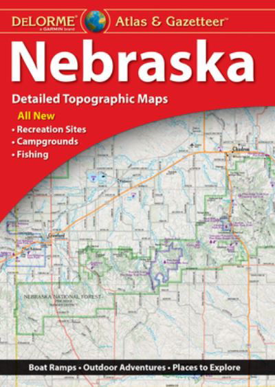
With an incredible wealth of detail, DeLorme's Atlas & Gazetteer is the perfect companion for exploring the Arizona outdoors. Extensively indexed, full-color topographic maps provide information on everything from cities and towns to historic sites, scenic drives, trailheads, boat ramps and even prime fishing spots.
With a total of 57 map pages, the Atlas & Gazetteer is your most comprehensive navigational guide to Arizona's backcountry.
Full-color topographic maps provide information on everything from cities and towns to historic sites, scenic drives, recreation areas, trailheads, boat ramps and prime fishing spots
Extensively indexed
Handy latitude/longitude overlay grid for each map allows you to navigate with GPS
Inset maps provided for major cities and the Grand Canyon as well as all state lands
Product Details: Arizona State
Dimensions: 15.5" x 11"
AVAILABLE FOR ALL 50 STATES
| メディア | 書籍 Paperback Book (ソフトカバーで背表紙を接着した本) |
| リリース済み | 2018年5月1日 |
| ISBN13 | 9781946494146 |
| 出版社 | Delorme Mapping Company |
| ページ数 | 68 |
| 寸法 | 272 × 389 × 5 mm · 385 g |
| 言語 | 英語 |