この商品を友人に教える:
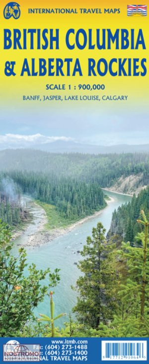
British Columbia & Alberta Rockies ITM Publications 第1 版


British Columbia & Alberta Rockies
ITM Publications
The Rocky Mountain chain forms the boundary between the Canadian provinces of Alberta and British Columbia. There are only three passes through the mountain chain, which somewhat isolates BC from the rest of Canada (a mixed blessing). The Rockies are also the paramount travel attraction of Canada, nice though our many lakes, waterfalls, and cities happen to be. This double-sided map covers the three national parks of Banff, Jasper, and Yoho, and several provincial parks on both sides of the border, which also forms the continental divide between rivers flowing to the Pacific or to the Atlantic, covering from Calgary to the northern portion of the Fraser Canyon on one side, and the more northerly stretch of the Rockies from Fort St. John to the Yukon. Good inset maps of Calgary, Banff, Jasper, and Lake Louise are included.
1 pages
| メディア | 書籍 Map (陸地図または海図) |
| リリース済み | 2022年9月22日 |
| ISBN13 | 9781771291064 |
| 出版社 | ITMB Publishing |
| ジャンル | Maps & Guides |
| ページ数 | 1 |
| 寸法 | 248 × 104 × 10 mm · 52 g |
| 言語 | 英語 |
ITM Publicationsの他の作品を見る
すべて表示




同じ出版社からのその他の記事

ITM Publicationsのすべてを見る ( 例: Hardcover Book , Book , Map , Print および Sewn Spine Book )