この商品を友人に教える:
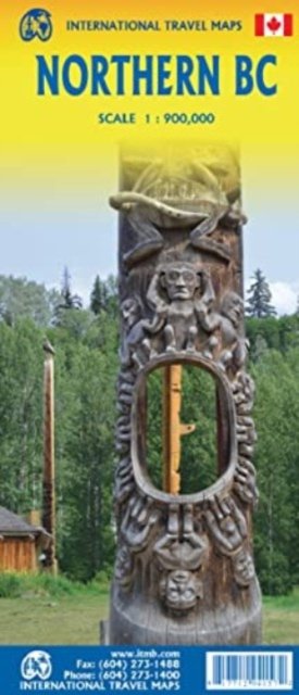
British Columbia Northern ITM Publications 第1 版
価格
¥ 2.410
税抜
遠隔倉庫からの取り寄せ
発送予定日 年10月26日 - 年11月4日
ITM Publications の新しいリリースのお知らせを受け取る


iMusicのウィッシュリストに追加
British Columbia Northern
ITM Publications
Side 1 is of the western portion, including the Alaskan Panhandle, with the route followed by cruise ships heading north and clearly delineates the border between Canada and the USA. It also shows the Stewart Highway heading north towards the Yukon, with its branch leading to Hyder, Alaska, the only place in the USA that uses Canadian money and does all its banking in Canada. The second side covers the eastern half of BCs north, with the Alaska Highway starting in Dawson Creek and extending north to Fort Nelson before veering west into the eastern edge of the Rocky Mountains to the Yukon border.
1 pages
| メディア | 書籍 Map (陸地図または海図) |
| リリース済み | 2023年2月25日 |
| ISBN13 | 9781771294157 |
| 出版社 | ITMB Publishing |
| ジャンル | Maps & Guides |
| ページ数 | 1 |
| 寸法 | 249 × 105 × 12 mm · 56 g |
| 言語 | 英語 |