クリスマスプレゼントは1月31日まで返品可能です





この商品を友人に教える:
Rand Mcnally Folded Map: Salt Lake City Map Edition
Rand Mcnally Folded Map: Salt Lake City
Rand Mcnally
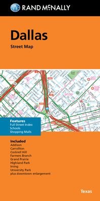
Rand McNally's folded map for Salt Lake City is a must-have for anyone traveling in and around this part of Utah, offering unbeatable accuracy and reliability at a great price. Our trusted cartography shows all Interstate, U. S., state, and county highways, along with clearly indicated parks, points of interest, airports, county boundaries, and streets. The easy-to-use legend and detailed index make for quick and easy location of destinations. You'll see why Rand McNally folded maps have been the trusted standard for years.
Regularly updated
Full-color maps
Clearly labeled Interstate, U. S., state, and county highways
Indications of parks, points of interest, airports, county boundaries, schools, shopping malls, downtown & vicinity maps
Enlargment of downtown
Easy-to-use legend
Detailed index & full street index
Convenient folded size
© 2013
Communities Included: Holladay, Midvale, Murry, Sandy, South Jordan, South Salt Lake, Taylorsville, West Jordan, West Valley City
| メディア | 書籍 Paperback Book (ソフトカバーで背表紙を接着した本) |
| リリース済み | 2013年4月1日 |
| ISBN13 | 9780528007965 |
| 出版社 | Rand McNally |
| 寸法 | 150 × 220 × 10 mm · 250 g (重量(概算)) |
| 言語 | 英語 |