この商品を友人に教える:
Text Book of Remote Sensing and Geographical Information Systems M Anji Reddy
遠隔倉庫からの取り寄せ
 クリスマスプレゼントは1月31日まで返品可能です



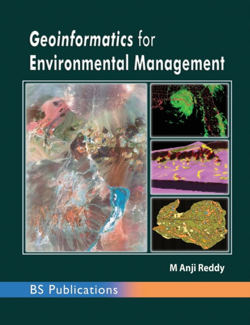
Text Book of Remote Sensing and Geographical Information Systems
M Anji Reddy
Remote Sensing and Geographical Information Systems (GIS) deals with mapping technology, and all relevant terminology which are necessary for a beginner to develop his skills in this new and upcoming technology
This book provides basic principles and techniques of remote sensing, microwave remote sensing, remote sensing platforms and sensors and data analysis techniques. Further, the book deals with GIS data quality issues, GIS data analysis & modelling, attribute data management, GIS data input & editing and integration & linkage of Remote Sensing and GIS.
The fourth edition is the upgradation of the third edition with notable chapters on various applications. The new chapters, namely Photogrammery with very few topics of digital photogrammetry, Global Positioning System (GPS) and the chapters of applications like, Forest Resources Management, Watershed Management and Natural Disaster Management: Landslides are added. Since, the users of geomatics technology for various applications have been using high resolution image data, the photogrammetry with fundamental concepts are included for better understanding of the student community. The application chapters are the output of the sponsored research projects of the author. These chapters are very much useful to the students who focussed their research on geospatial technologies.
| メディア | 書籍 Hardcover Book (ハードカバー付きの本) |
| リリース済み | 2014年12月1日 |
| ISBN13 | 9789385433351 |
| 出版社 | BS Publications |
| ページ数 | 656 |
| 寸法 | 191 × 235 × 35 mm · 1,33 kg |
| 言語 | 英語 |