この商品を友人に教える:
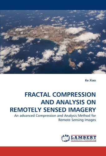
Fractal Compression and Analysis on Remotely Sensed Imagery: an Advanced Compression and Analysis Method for Remote Sensing Images Ke Xiao
遠隔倉庫からの取り寄せ
 クリスマスプレゼントは1月31日まで返品可能です



Fractal Compression and Analysis on Remotely Sensed Imagery: an Advanced Compression and Analysis Method for Remote Sensing Images
Ke Xiao
Remote sensing images contain huge amount of geographical information and reflect the complexity of geographical features and spatial structures. As the means of observing and describing geographical phenomena, the rapid development of remote sensing has provided an enormous amount of geographical information. The massive information is very useful in a variety of applications but the sheer bulk of this information has increased beyond what can be analyzed and used efficiently and effectively. This uneven increase in the technologies of gathering and analyzing information has created difficulties in its storage, transfer, and processing. Fractal geometry provides a means of describing and analyzing the complexity of different geographical features in remotely sensed images. It also provides a more powerful tool to compress the remote sensing data than traditional methods. This study suggests, for the first time, the implementation of this usage of fractals to remotely sensed images.
| メディア | 書籍 Paperback Book (ソフトカバーで背表紙を接着した本) |
| リリース済み | 2010年10月6日 |
| ISBN13 | 9783843358750 |
| 出版社 | LAP LAMBERT Academic Publishing |
| ページ数 | 260 |
| 寸法 | 226 × 15 × 150 mm · 405 g |
| 言語 | ドイツ語 |