この商品を友人に教える:
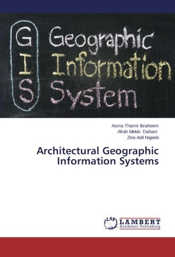
Architectural Geographic Information Systems Zina Adil Najeeb
遠隔倉庫からの取り寄せ


Architectural Geographic Information Systems
Zina Adil Najeeb
Digital close range photogrammetry has been successfully applied (for measurement, producing a large scale maps and 3D modeling. in many applications such as archaeology, architecture, industrial measurement and animations. One of the important current developments in digital close range photogrammetric systems is the full automation of the measuring process. The production map could be used and updated any time by GIS software. This book proved its effectiveness for integrating the GIS and photogrammetry in digital mapping since it is a time and coast consuming technique when it is compared to the conventional methods. In this book, a digital camera and Total Station are used to determine the ground control point, check point and the EOP of camera station. The orientation parameter (?, ?, ?) from the measured horizontal and vertical angles for each camera station are the same. Since the digital camera remain in the same situation so there is no change in horizontal and vertical angel (?, ?) its equal to zero, (?) equal to 90.
| メディア | 書籍 Paperback Book (ソフトカバーで背表紙を接着した本) |
| リリース済み | 2014年5月6日 |
| ISBN13 | 9783659539718 |
| 出版社 | LAP LAMBERT Academic Publishing |
| ページ数 | 120 |
| 寸法 | 150 × 7 × 226 mm · 197 g |
| 言語 | ドイツ語 |