この商品を友人に教える:
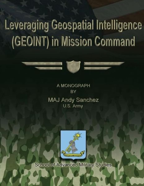
Leveraging Geospatial Intelligence (Geoint) in Mission Command Us Army Maj Andy Sanchez
遠隔倉庫からの取り寄せ


Leveraging Geospatial Intelligence (Geoint) in Mission Command
Us Army Maj Andy Sanchez
Publisher Marketing: The recent wars in Iraq and Afghanistan and the federal government response to Hurricane Katrina have demonstrated a vital need for the military to improve the process for assessment, response, and decision-making. Concepts such as operational art and Design claim to provide "a way" to frame the operational problem, but neither method actually improve the commander's ability to understand the situation. Some processes, such as operational art and design, fall short of answering important questions and translate easily into missions that soldiers can execute. Military commands and staffs start situation assessment by examining a map. Enter Geospatial Intelligence or (GEOINT); an emerging intelligence discipline that provides detailed data analysis, an assessment of the operational environment, and a means to investigate problems that may emerge. GEOINT is the exploitation and analysis of imagery and geospatial information to describe, assess, and visually depict physical features and geographically referenced activities on the Earth. Faced with new and complex problems, the military must adapt not only its methods for understanding complex problems but also must integrate new technologies to inform the cognitive hierarchy of Mission Command. Warfare is complex. Add to the conventional concept of warfare, the unpredictable components of culture, religion, political ideology, and friction and the complex military problem evolves into an ill-structured problem. Emerging planning methods such as Design seek to frame a complex problem through a rigorous form of questioning that can ultimately lead to a theory of action. Where Design falls short is through its neglect of GEOINT's proven methods. When used appropriately, GEOINT can eliminate the need for planning assumptions by revealing facts and enabling the assessment of alternative responses. GEOINT technology enables the military, national intelligence, and engineering communities to interact simultaneously to develop a two or three dimensional digital map displays of large amounts of layered data. The collaborative data display facilitates collaborative analysis. GEOINT permits detailed data analysis that supports the decision maker by providing him better situational understanding. Unfortunately, Army planners do not understand the important role geographic information systems can serve in informing Battle Command or joint operations planning. In the contemporary operating environment, GEOINT can be employed at all levels of war. GEOINT is most useful at the tactical level, for planning. At the tactical level GEOINT merges imagery intelligence with geophysical maps. The military customer of GEOINT generally expects the analyst to provide him a printed map or some form of two or three dimensional digital display. In most cases the value-added by GEOINT is embedded in the finished product's imagery and graphic intelligence. But GEOINT technology is evolving quickly in the private and civilian government sectors to support business ventures and government agencies. The military is missing opportunities to capitalize on GEOINT technology by not incorporating its capabilities into the warfighting community.
| メディア | 書籍 Paperback Book (ソフトカバーで背表紙を接着した本) |
| リリース済み | 2012年10月1日 |
| ISBN13 | 9781480030183 |
| 出版社 | Createspace |
| ページ数 | 48 |
| 寸法 | 216 × 279 × 3 mm · 136 g |