
この商品を友人に教える:
Sailing Directions 162 Philippine Islands Nga


Sailing Directions 162 Philippine Islands
Nga
EDITION 12 FOR 2018 All geographical features have GPS coordinates for emergency navigation. PHILIPPINE ISLANDS Luzon-North and West Coasts, including Luzon Strait Luzon-South Coast Panay-North and East Coasts, Masbate-South Coast, and Negros-Northwest Coast Mindoro-Southwest and East Coasts, Panay-West Coast, and Negros-South Coast Luzon-East Coast Samar and Leyte-West Coasts, Bohol-Northeast Coast, and Cebu-East Coast Tanon Strait, Bohol Strait, and Bohol-South Coast Mindanao-West and North Coasts Mindanao-South and East Coasts The Calamian Group and Associated Dangers Palawan, Palawan Passage, and Balabac Strait The Sulu Sea and the Sulu Archipelago SAILING DIRECTIONS are prepared and published by the U. S. NATIONAL GEOSPATIAL-INTELLIGENCE AGENCY (NGA). SAILING DIRECTIONS, covering the harbors, coasts, and waters of the world, provide information that cannot be shown graphically on nautical charts and is not readily available elsewhere. Sailing Directions include detailed coastal and port approach information which supplements the largest scale chart.
| メディア | 書籍 Paperback Book (ソフトカバーで背表紙を接着した本) |
| リリース済み | 2011年9月4日 |
| ISBN13 | 9781463686345 |
| 出版社 | Createspace Independent Publishing Platf |
| ページ数 | 384 |
| 寸法 | 216 × 280 × 20 mm · 889 g |
| 言語 | 英語 |
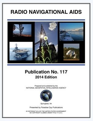
![Cover for Nga · Radio Navigational Aids 2005 (Paperback Book) [Incl. Ntm 25/12 edition] (2014)](https://imusic.b-cdn.net/images/item/original/240/9781937196240.jpg?nga-2014-radio-navigational-aids-2005-paperback-book&class=scaled&v=1583532212)