
この商品を友人に教える:
Sailing Directions 150 World Port Index Nga


Sailing Directions 150 World Port Index
Nga
World Port Index. Edition 27 2020. . The World Port Index contains the location and physical characteristics of, and the facilities and services offered by major ports and terminals world-wide (approximately 3700 entries), in a tabular format. Entries are organized geographically, in accordance with the diagrams located in the front of the publication. The selection of these places is based on criteria established by this Agency. They are not random choices. The applicable chart and Sailing Directions is given for each place listed. In order to present such a large amount of diversified data in a single volume of convenient size, a simple code is used to indicate certain types of information. The code symbols are explained at the top of each page of text. The Sailing Directions, in some instances, may be consulted to obtain additional detailed information. SAILING DIRECTIONS are prepared and published by the NATIONAL GEOSPATIAL-INTELLIGENCE AGENCY (NGA). UNITED STATES OF AMERICA. SAILING DIRECTIONS, covering the harbors, coasts, and waters of the world, provide information that cannot be shown graphically on nautical charts and is not readily available elsewhere. Sailing Directions include detailed coastal and port approach information which supplements the largest scale chart.
| メディア | 書籍 Paperback Book (ソフトカバーで背表紙を接着した本) |
| リリース済み | 2012年9月12日 |
| ISBN13 | 9781463686239 |
| 出版社 | Createspace Independent Publishing Platf |
| ページ数 | 250 |
| 寸法 | 216 × 280 × 13 mm · 589 g |
| 言語 | 英語 |
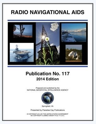
![Cover for Nga · Radio Navigational Aids 2005 (Paperback Book) [Incl. Ntm 25/12 edition] (2014)](https://imusic.b-cdn.net/images/item/original/240/9781937196240.jpg?nga-2014-radio-navigational-aids-2005-paperback-book&class=scaled&v=1583532212)